Research
Our research is focused on understanding the causes of water resources issues in eastern North Carolina and testing the effectiveness of engineering solutions to address the issues. The challenges our lab is leading efforts on include flooding and water quality impairment of coastal bodies of water, such as lakes, estuaries, streams, and aquifers.
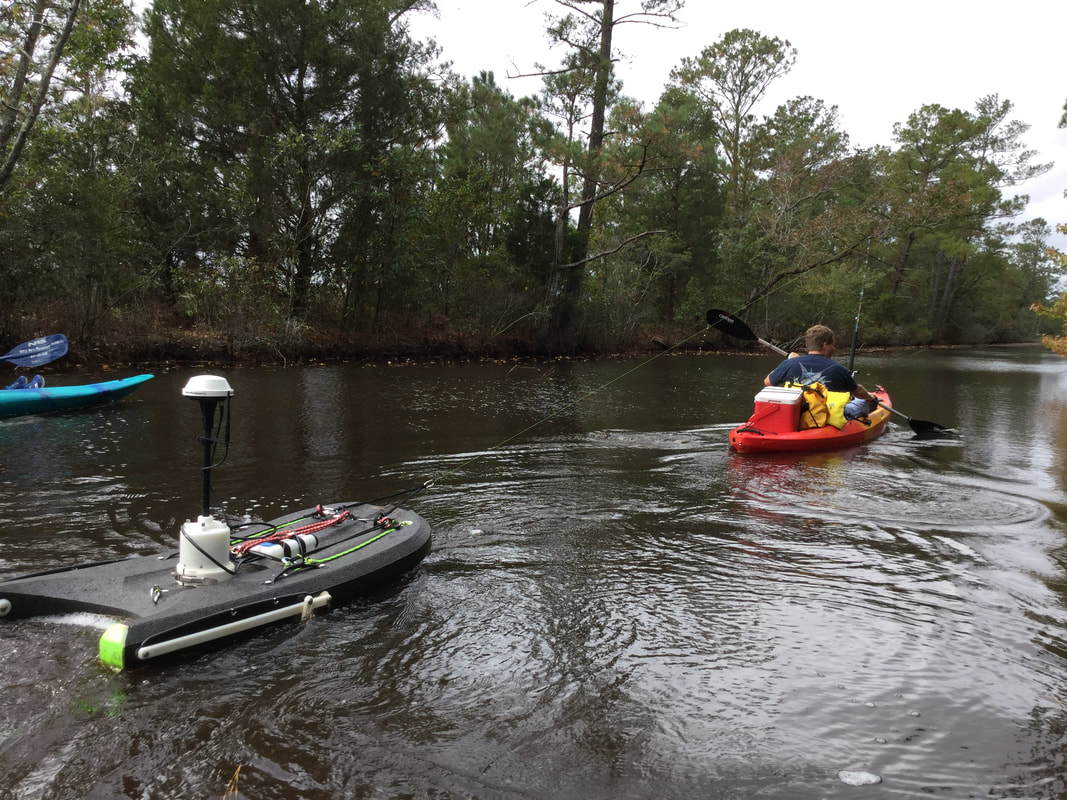
The team uses the latest technology in the field to better understand and quantify what is occurring in the monitored systems. The use of sensors that can collect parameters including nutrient concentrations, water flow, and soil moisture at a high temporal resolution have provided great insight into the systems that have been monitored and will continue to do so as further advances in monitoring technology are made.
The team uses the latest technology in the field to better understand and quantify what is occurring in the monitored systems. The use of sensors that can collect parameters including nutrient concentrations, water flow, and soil moisture at a high temporal resolution have provided great insight into the systems that have been monitored and will continue to do so as further advances in monitoring technology are made.
Lake Mattamuskeet
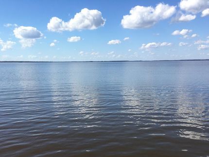
Lake Mattamuskeet from Highway 94
|
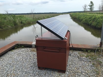
A monitoring station in a waterfowl impoundment.
|
The Lake Mattamuskeet watershed has been a focus of research for the Etheridge Lab since 2016. The goal of our current National Science Foundation funded project (1940072) is to link the local knowledge of local communities with the expertise of undergraduate engineering students completing their capstone projects to develop a community-driven design to address sea level rise or other future challenges. This framework is being applied in the Lake Mattamuskeet watershed during the 2020-2021 school year to assist with the implementation of the Lake Mattamuskeet Watershed Restoration Plan. The use of engineering students and community engagement to advance engineering design provides a low-cost approach for resource-limited coastal communities to promote community resiliency.
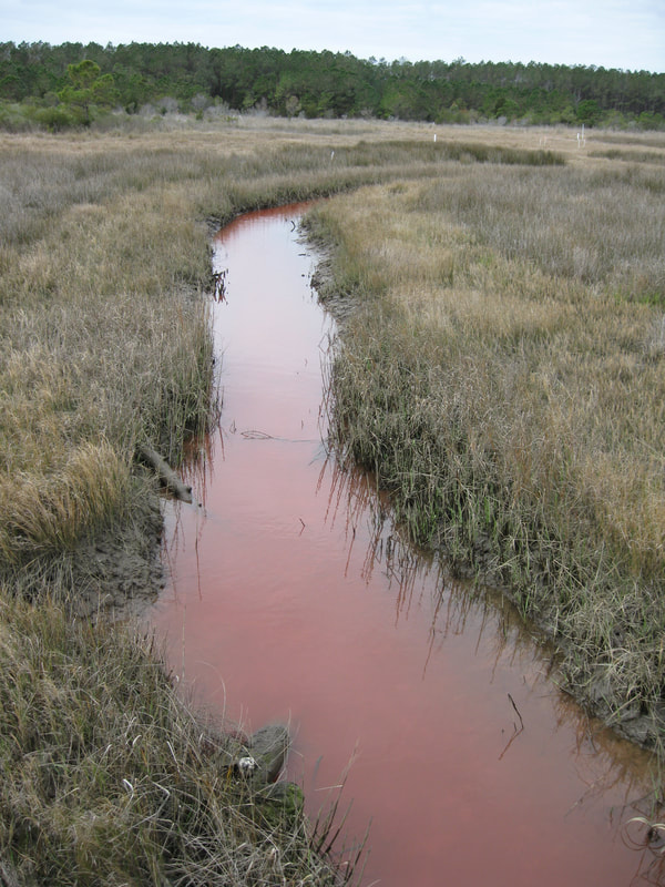
We are finalizing our research on the water quality leaving waterfowl impoundments under different management schemes. The high frequency water quality monitoring allowed us to identify what conditions promote the export of nutrients to the eutrophic lake. The end goal of this research is to improve the management of the waterfowl impoundments to reduce nutrient export and improve the health of the lake.
Another project is focused on improving our understanding of the primary cause of reduced flow in the outflow canals that connect Lake Mattamuskeet to the Pamlico Sound. This project includes extensive surveying and flow monitoring in addition to reading historical engineering documents that describe the construction of the original canals.
Coastal Agriculture and Watershed Resiliency
We are in the early phases of a large interdisciplinary project funded by the National Science Foundation (2009185). The goal of this project is to evaluate how perceptions of ecosystem health, various policies, and sea level rise alter land use decisions by farmers, which can change ecosystem outcomes. This will be accomplished through coupling a human systems model (perception and policy) with a natural systems model (land use and ecosystem outcomes). The results of this work can be applied both in and outside of our study watershed to support rural agricultural economies and promote healthy ecosystems. The Tar-Pamlico River basin is the focus of this study. Our lab is responsible for calibrating and validating a SWAT+ model for the watershed that can be integrated with a human systems model.
Well Water Safety
Private wells are the drinking water source for over 43 million U.S. households but remain unregulated federally and are vulnerable to contamination. This research will identify households in North Carolina most likely to be exposed to contaminants during severe weather. Our team is using econometric and machine learning techniques combined with statewide well water quality, hydrological, and meteorological data to predict contamination during extreme events. This work is supported by the Environmental Protection Agency (83694201) and the National Science Foundation (1902282). More information about the larger project can be found on the project website.
Public Engagement in Science
Through projects funded by the National Science Foundation (1644650) and the United States Fish and Wildlife Service, our lab has worked with citizens of Bogue Banks and Hyde County, respectively, to solve water related problems that being faced by their communities. For the project on Bogue Banks, citizen scientists collected groundwater and surface water level data to improve the modeling of groundwater and surface water interactions on the island. The Hyde County project was focused on learning about water management on agricultural operations that use pumps to control drainage.
Telemetry
In the summer of 2019, we began developing a method to affordably measure water level and water temperature for river and lake applications. Further details and a step-by-step guide of how you can implement such a telemetry system are in development.
Past Research Projects
- Quantifying the water quality benefits of a constructed brackish marsh and tidal stream system located downstream of row crop agricultural production.
- Improving the modeling of nitrogen transformation processes at the watershed scale in the INCA-N model in areas with agriculture as the predominant land use.